Soloing the Angel of Shavano
Spring is known for being a transitional season, and this is especially true in Colorado. With spring comes a mud-riddled shoulder season, but also slightly more stable snowpack and prime couloir climbing time. "Couloir" is a term of French origin that refers to the deep and steep gullies that cut up a mountain, and plenty of these lines exist on some of the most beautiful mountains in our state.
While avalanche danger isn't negligible in the spring, it is significantly decreased as snow no longer accumulates on top of the cold and hard early season snow. Additionally, the prolonged sun exposure stabilizes snow fields, making them less likely to slide.
When done right, a couloir can be used as an icy staircase for one to use to kick-step their way to a summit. In less stable conditions, however, the icy staircase is less reliable. This is why it's important to know how to climb in addition to knowing when. Solid knowledge is a critical part of any snow activity, and this is true in couloir climbing as well. To learn more about the techniques involved, I would recommend first reading 'Mountaineering: Freedom of the Hills' (considered the benchmark publication for anyone looking to learn or improve their mountaineering skill technique), and then taking an in-person class with Colorado Mountain Club.
While this trip report is not meant to be an introduction to couloir climbing techniques, I will give some advice for anyone looking to pursue their first couloir:
- Start early. Earlier than you think you need to. Conditions begin to deteriorate as the sun starts to hit the couloir, so ideally you want to be off of your peak before high noon. Early morning snow tends to be firm and consistent, but mid-morning and afternoon snow is a different, slushy story. I've had my entire snowshoe frozen solid into a slosh of wet snow in April. Much like quicksand, spring snow can turn into concrete once you drop beneath the upper layers. Things can get scary quick.
- Learn how to self-arrest and then perfect your technique. Don't stop practicing. Keeping your axe out on any uneven terrain can help you get more comfortable with the casual cane carry. If you start doing this regularly, even on extremely low-angle slopes, you'll develop more confidence in your abilities. Confidence is key when it comes to stopping yourself from sliding down an icy slope: you want to be sure you could stop yourself in any circumstance.
- Get comfortable with your gear. This should be considered part of learning and perfecting the art of self-arresting; being comfortable with your snow gear is a big part of effective climbing technique. If you are spending time fumbling to find your crampons or haven't figured out the best place to stash your axe so it's handy when needed, you'll find the climb a lot less enjoyable overall. Precious time can be eaten looking around for a specific snow tool, and you won't have time to spare in an emergency. Having your beacon, shovel, probe, axe, helmet, and crampons all well positioned is essential to a successful ascent.
Choosing my Route
In May of 2021, I set out to pursue a low-level couloir climb solo. I had read about the Angel being a nice winter alternative to the standard route up Mount Shavano, and I was eager to get some time on my new crampons. I had pulled them out on 13ers in the Tenmile range over months prior, but hadn't really gotten to use them on a long, dedicated climb yet. The Angel of Shavano seemed like a nice opportunity to wear them again while still being safe enough for me to pursue solo.
Getting to the Lot
The drive down to the Shavano/Tabeguache trailhead in Salida was fairly uneventful. The only real drama happened when I arrived in the lot at 3:45 AM without another vehicle in sight. I hopped out of my car to walk over to the bathrooms and immediately came within five feet of an elk. I froze, took three huge steps backwards, and stumbled backwards into my driver's seat. Terrified of the elk and whatever his next move might be, I decided to hang out in my car for a little longer and wait him out. 45 minutes later, the sun began to rise as he finally left the lot. I was released from my tin prison.
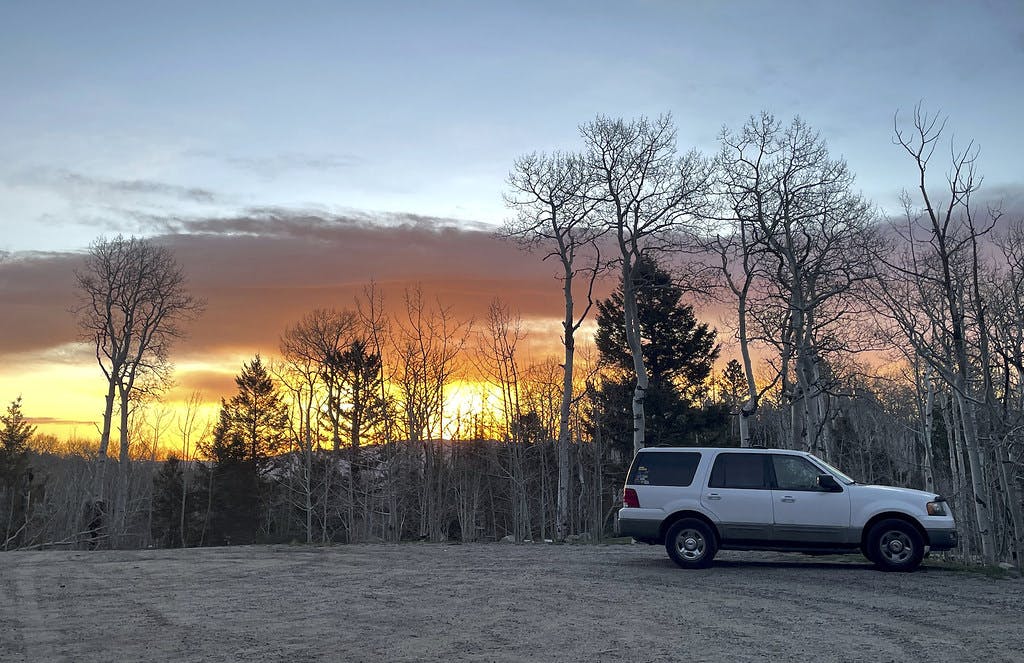 The beginning of sunrise, seen from the parking lot.
Starting the Hike
I took a moment to consider how this delay would impact my day. Knowing that I had a cool 3.2 miles to the summit and my pace was averaging 2.2 miles an hour on recent climbs, I still felt confident going after my objective. I made the choice to continue on, telling myself I would make the choice to turn around if conditions appeared to be declining when I got to the base of the Angel, and then set off to check it out.
 Alpenglow seen against Mount Antero as I left the parking lot.
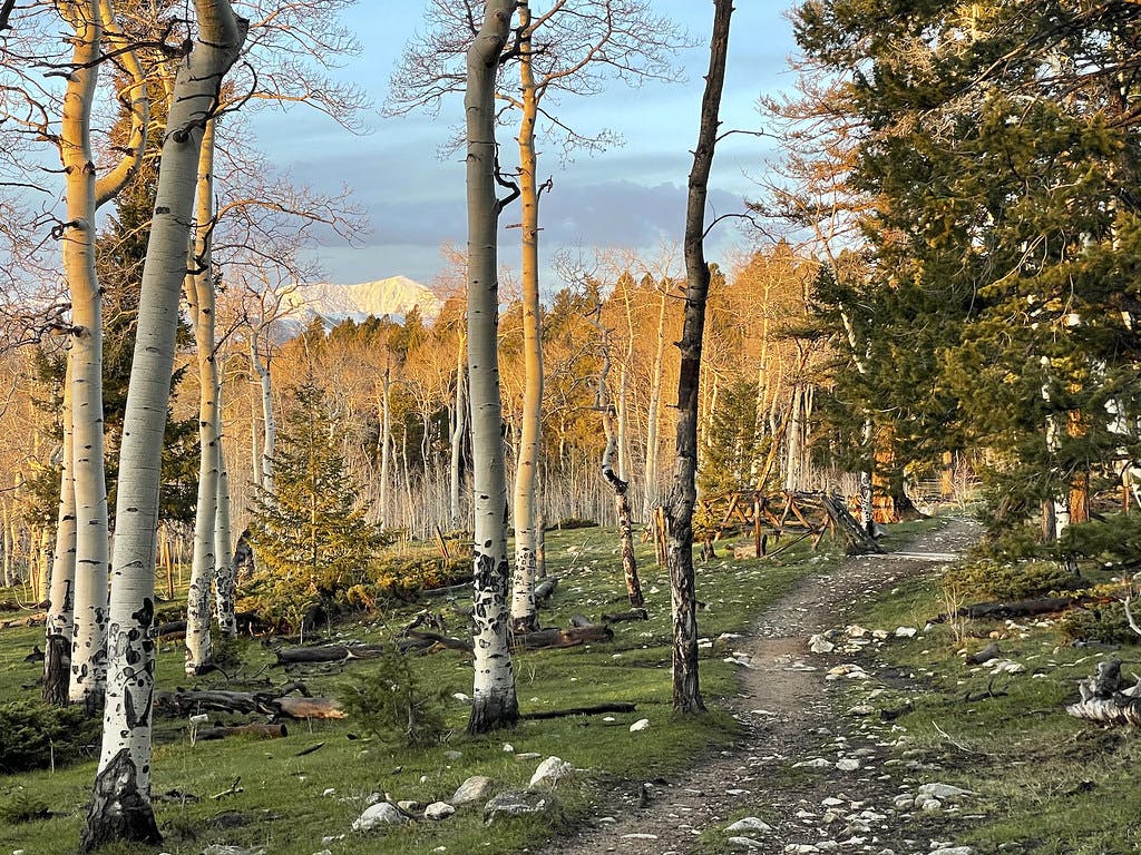
The first mile of the Angel's trail follows the standard approach. I enjoyed a beautiful sunrise in solitude, winding through golden-white aspen on a fairly level trail. The first steep section comes right after a chance to sign the climb log. I took a moment to add my name, noting there had been no one on this peak even the day prior, before continuing along.
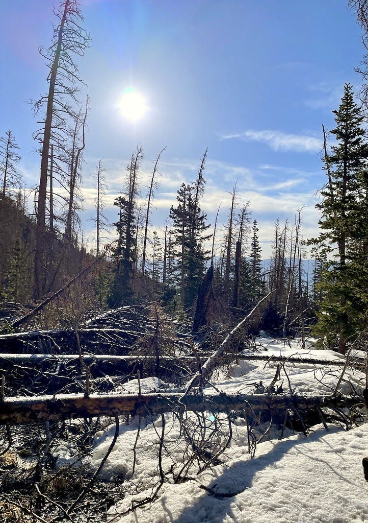
As I gained some elevation on the lower trail, I found myself hopping over large, downed trees, and other avalanche debris. This would only get worse as I left the heavier-trafficked standard trail.
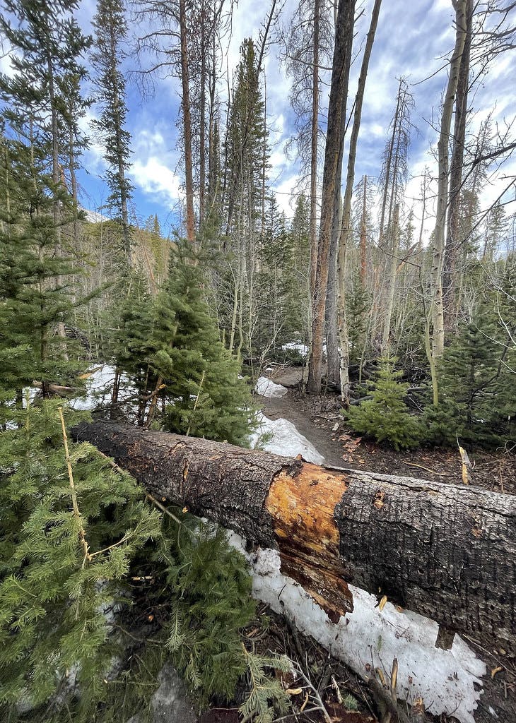 A downed tree with evidence of where hikers prior had to manuever over it.
Navigating Avalanche Debris
After about 1.2 miles of hiking along a comfortable 14er trail, I had to fork off to approach the base of the Angel. As is the case with any lesser-traveled section of trail, there wasn't a packed-down trench to follow. I took a moment to strap snowshoes to my feet and began punching through the somehow both hard and soft snow.
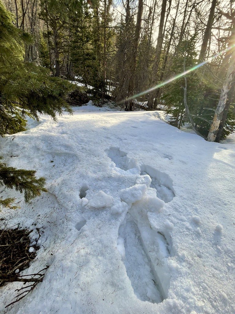 A closer look at that punchcrust and what my snowshoes were doing to it.
Not solid enough to hold the weight of myself with my snowshoes, but not loose enough to sink me more than a foot into the snow, I opted to take my snowshoes off after a half mile of kicking through the debris into punchcrust. I stashed the shoes at a tree, saved the waypoint to my Garmin, and continued along. While still frustrating, things were easier without those cumbersome snow floats strapped to my feet.
 This where I gave up on my snowshoes, stashing them somewhere underneath a tree to the left of this image.
First Look at the Angel
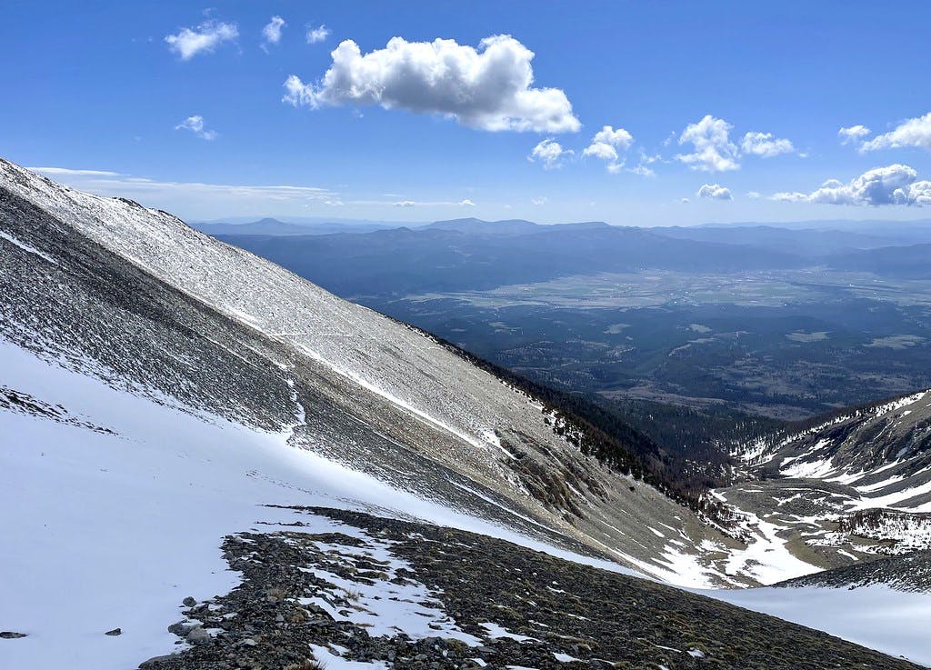
Maneuvering my way over heavy, downed tree trunks with sharp and spindly branches sticking in every direction off of them, I slowly but surely made my way towards the base of the Angel. Its angle appears so gentle as you approach that it is easy to underestimate the slope.
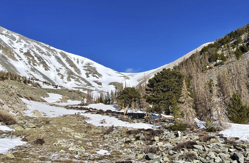 My first view of the Angel.
While this is by all means a casual climb and not very intense, it's important to have your gear out and at the ready at the right time.
 Rock hopping before I commit to my crampons.
As I hopped over the last patch of rock visible before the Angel's angle would increase, I paused to put my crampons on. It looked like this would be the last area I might be able to comfortably sit. After triple checking that I had secured them correctly, I continued up the peak.
Gaining the Couloir
Climbing this little couloir was a lot of fun. I was finally getting a feel for that kick-step pattern, repeatedly feeling out how much depth I actually had beneath me, and then making sure I didn't kick in too deep. I got into a nice flow state focusing on these smaller movements. Again, the Angel is by no means an intense climb (I'm confident some more experienced mountaineers wouldn't even consider this a "real" couloir), but it's a nice way to get some practice in steeper terrain.
 Looking back down to the base of the Angel after gaining some elevation.
It's easy to make quick work of a slope like this when you've had energy to burn since the start of your morning. I found myself cruising up this hill and was surprised when I turned my head and saw the main trail meeting with my path.
 Standard trail visible to the left.
At this point I was making quick time of the peak. I chose to take a moment and really appreciate the views from this saddle, maybe try to spot any fellow climbers below. To my surprise I could see no movement in the trees below or on the trail leading up to where I stood. As far as I could tell, no one else was out there with me. A true surprise given how beautiful and clear this weather had turned out.
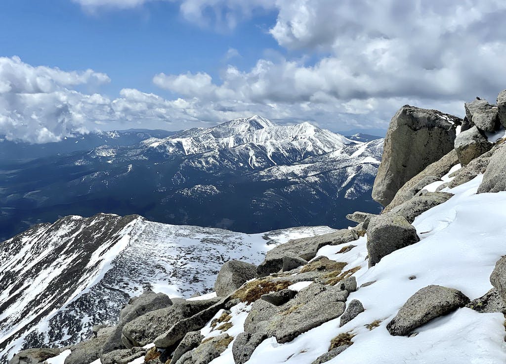
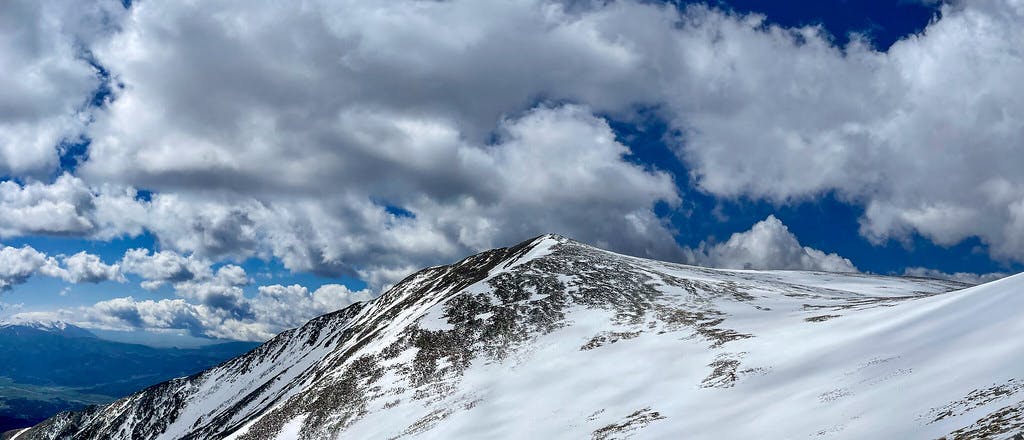 Looking over to the 13,630' peak that shares a saddle with Shavano, "Esprit Point".
I took another look around and began my way up the next highest point I could see. It looked like things flattened out another 400 or so feet above, so I decided to put my head down and go after the seemingly-near objective.
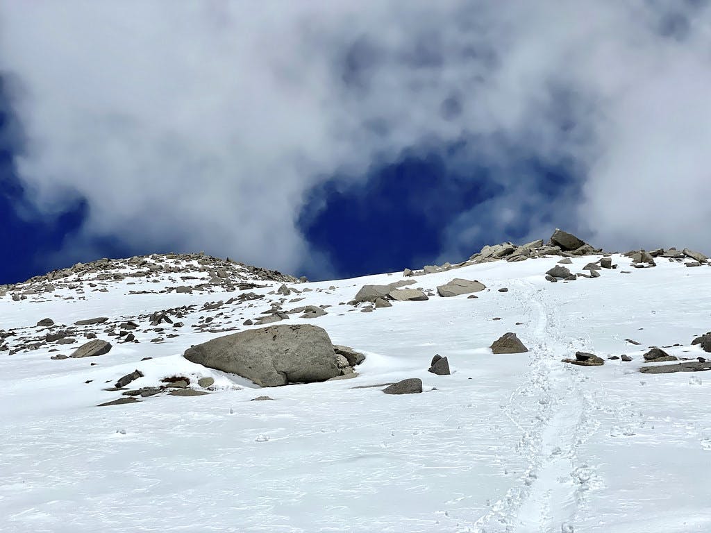
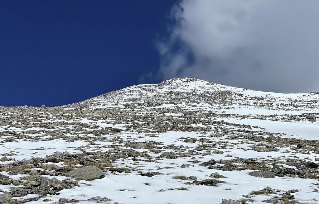 Almost there!
To my disbelief, this was the final summit push. I was technically cutting the traditional trail once again by hoofing it directly up the slope instead of switching back and forth, but it felt both easier and safer to go straight up in the snow. There were solid rocks for me to orient myself with, and the patches of snow in between were neither deep nor loose. It was smooth sailing from here.
On the Summit of Mount Shavano
Suddenly, the terrain below my feet flattened out and the world around me opened up. I could only see other 14,000+' peaks at eye level around me. It was an incredible feeling having only been moving for a couple of hours up to this point.
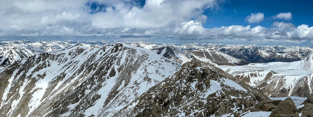 On the summit of Mount Shavano, looking at the traverse over to Tabeguache Peak.
I took some time to consider the Tabeguache traverse and finally decided against it. There wasn't a fresh track for me to follow, and I had already began my day later than originally planned. Connecting that peak might take me another hour each way if I'm quick. It wouldn't be smart, I decided, to continue on.
Descending Off the Peak
 Dropping off of the summit of Shavano.
After taking a few extra moments to soak in that summit feeling, I began to descend a well-marked path just a few feet off of the one I had ascended. This trail snaked down the summit along a couple of switchbacks. I passed a Colorado Fourteener Initiative (CFI) sign identifying the summit "area" after dropping off the initial prominence, immediately validating my chosen descent route.
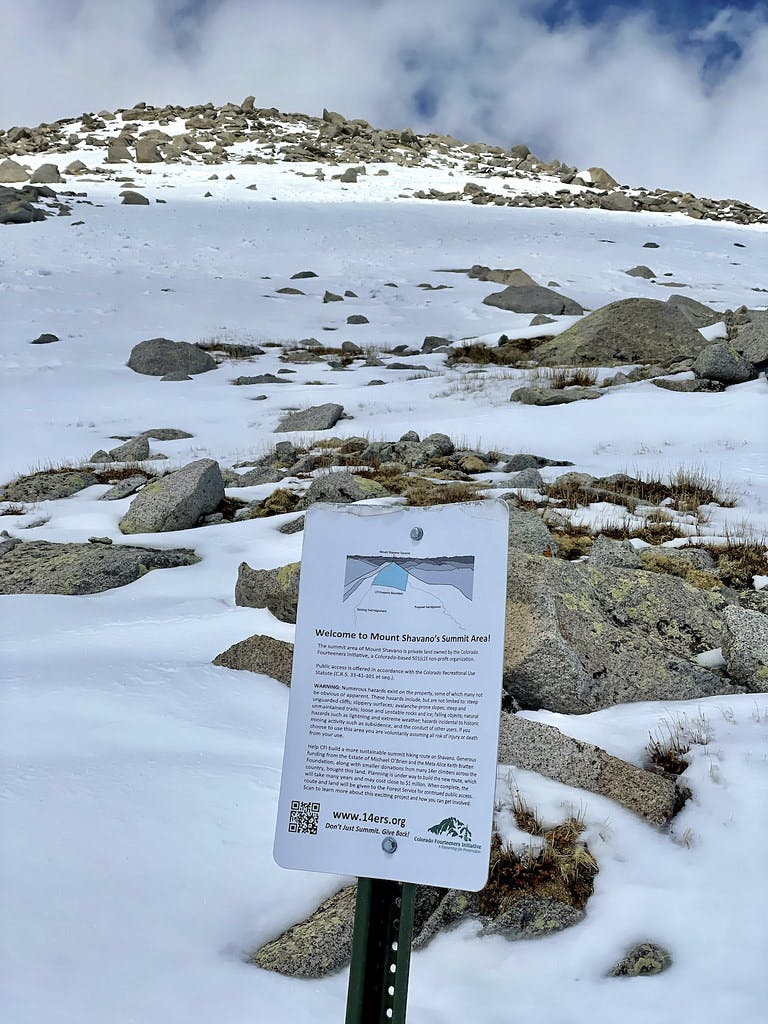 A sign placed by CFI.
Once I was off of the steepest section of rocky terrain and back into the more powdery snow, I glissaded whenever I could.
 Some of my less exciting glissade tracks off of the summit block.
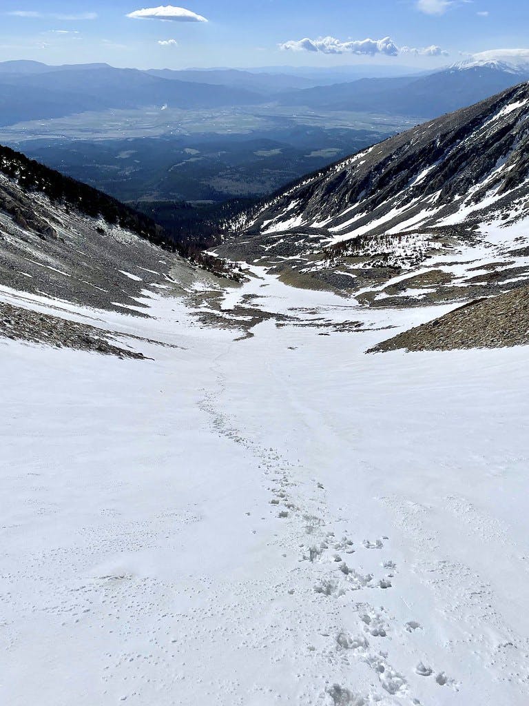
Meeting that saddle where the main trail takes a turn back down a tree-covered slope, I split back towards the couloir and continued to glissade, this time with my axe at the ready and no crampons on my feet. This was where I actually caught some speed.
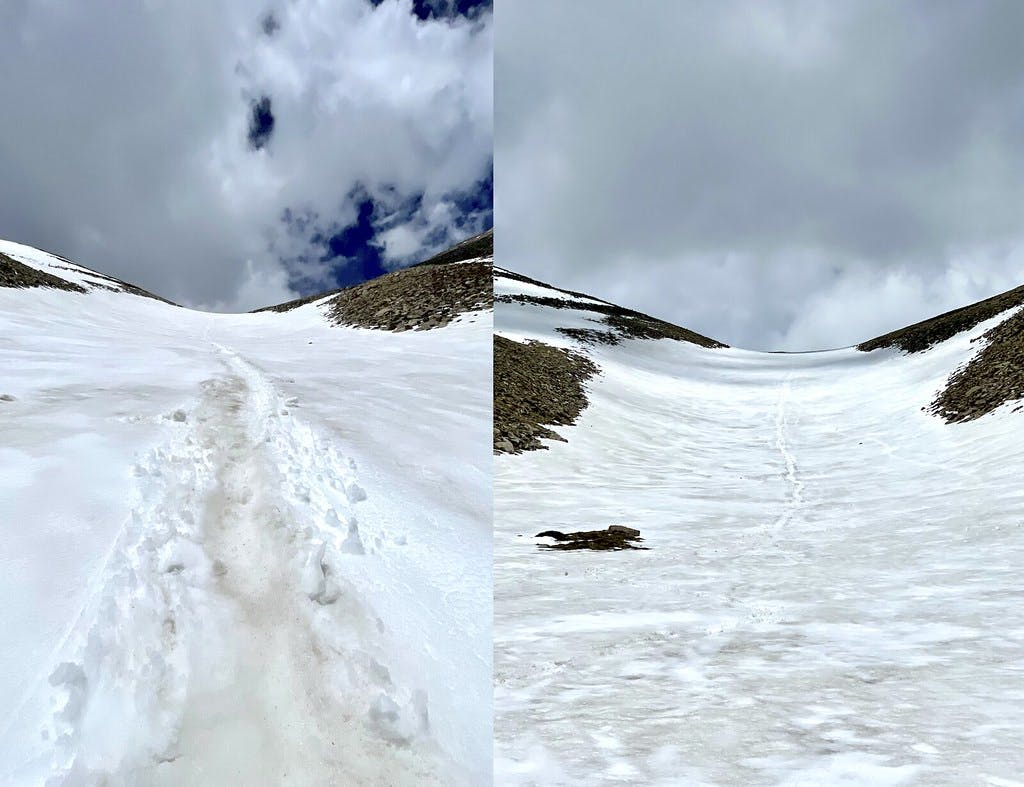 My glissade tracks, from up close and far away.
Once at the bottom of the Angel, I turned around to assess my glissade track. To my surprise (for the third time today), storm clouds had begun to roll in. This proved my decision to bail on the traverse was a good one. Even with the quick glissade down and patchy stretches off of the summit, I hadn't cut off enough time to be safely off the peak by the time those clouds released what they were holding.
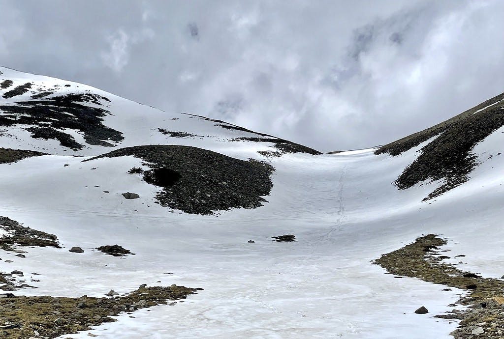 Looking back at the couloir just as storm clouds roll in.
Finishing My Day
After spending a cool half hour stumbling back over my tracks and swearing at my GPX waypoint for not being more obvious to the naked eye, I finally located my snowshoes and got myself back below treeline. Returning to the hard-packed main trail made the final section of descent all that much easier, and I got to my car just in time for the rain to start. Another excellent day in the alpine.
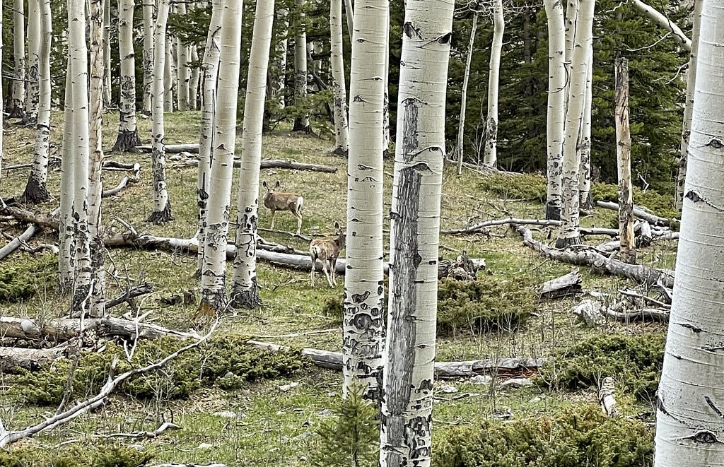 Some deer watching me run out of the wilderness.
Climb Stats
Tracked on Strava and AllTrails:
Date Climbed: Thursday May 20th, 2021
Distance: 7.9 miles
Elevation gain: 4,300 feet
Time: 5 hours
Difficulty: C2
More information about this route can be found here.